Alteia R2023.23_ENG
Infield Mobile application
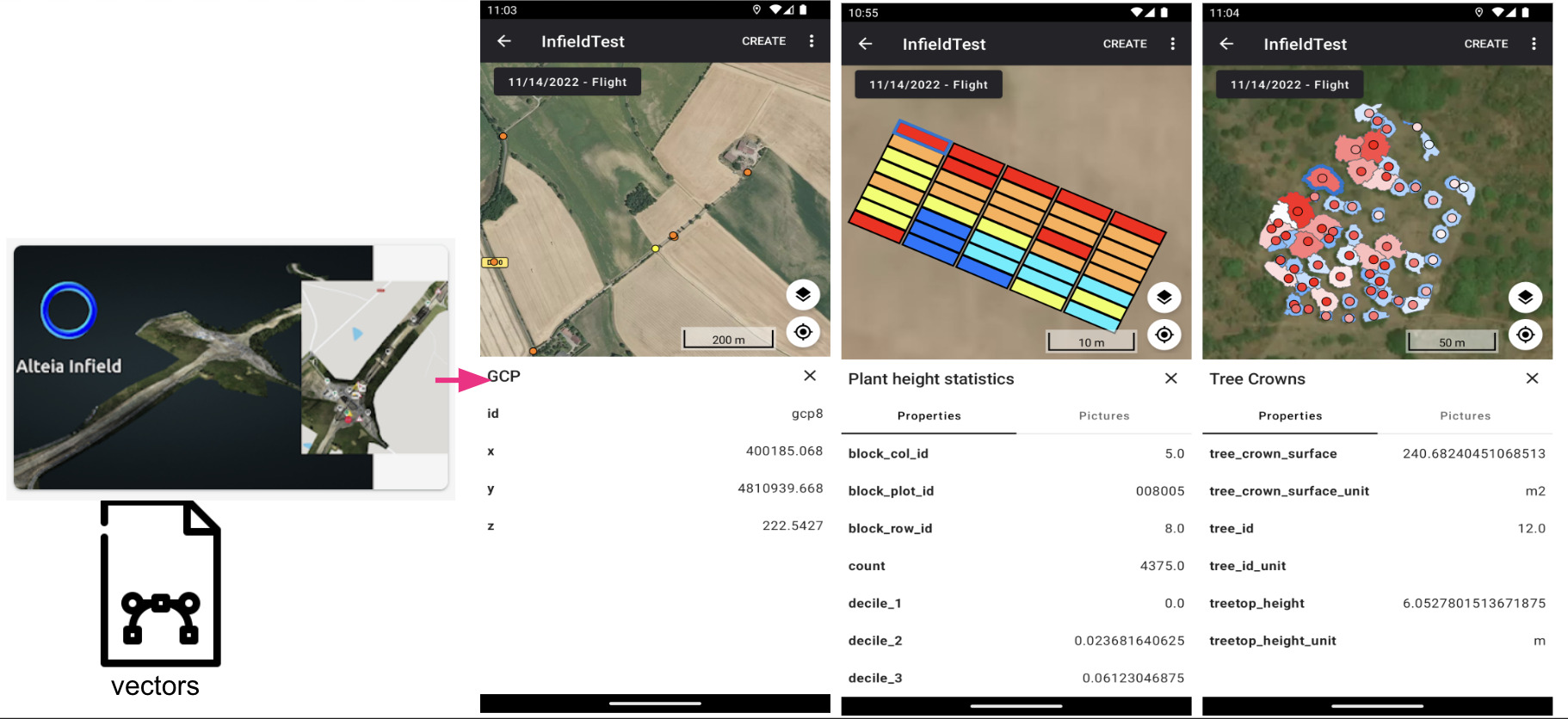
UI review and vector map display on Android & iOS

Available on Android and iOS – Enhanced viewing capability thanks to a brand new feature supporting vector files (possibility to view attributes).

Link to the knowledge base:

Infield-mobile-app-introduction

Your Sites
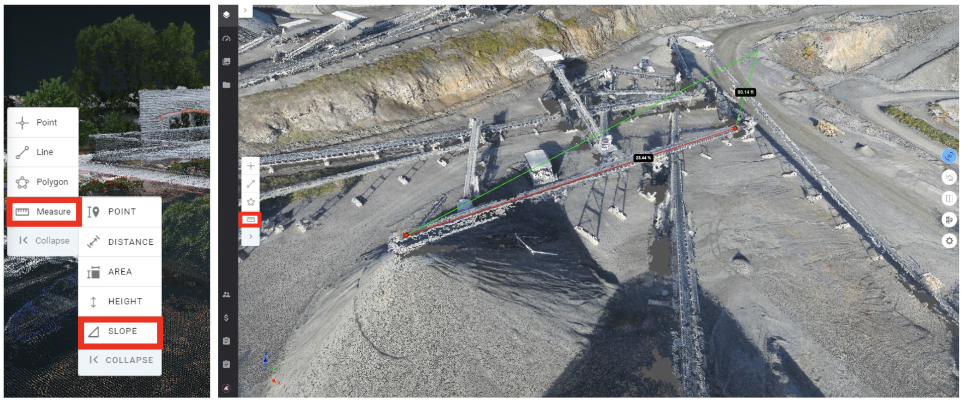
Measurements tools - 3D slopes

Users can now measure in 3D the slope of some objects.

Data capture module
New quality checks in Data capture desktop application

RTK accuracy, RTK horizontal deviation, ISO, Aperture, Blur risk can now be controlled directly in the field without internet connection.

To access the new version please download it from the knowledge base : 

data-capture-offline-version

Photogrammetry
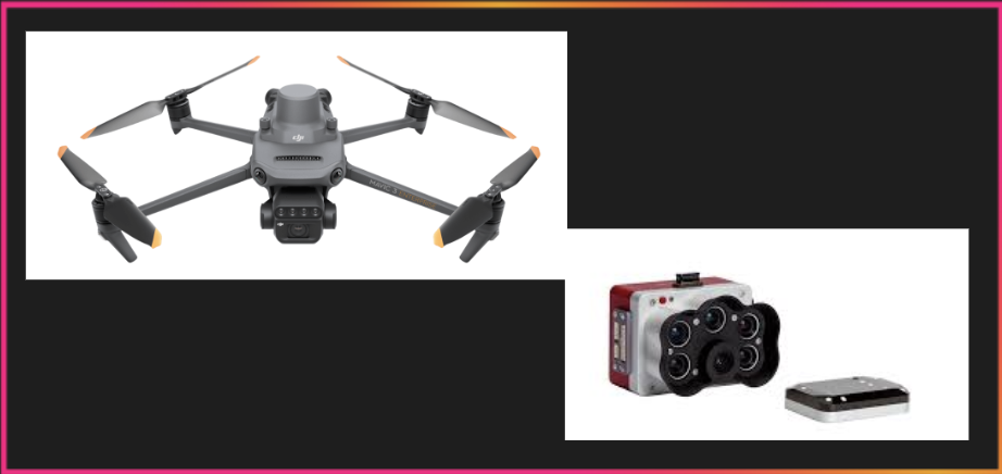
New supported Drones and multispectral sensors

DJI Mavic 3M and Micasense RedEdge-P multispectral sensors are now supported for photogrammetry (Pix4D Engine).

Links to the knowledge base:

supported-drones-and-devices

supported-sensors-for-photogrammetry

compatible-sensors-for-agriculture-and-their-settings


Alteia knowledge base >
For more information,
contact your sales representative Find all the release notes
app.alteia.com
support@alteia.com
Alteia
Unsubscribe Update your profile