Alteia-Release R2438_Eng
Summary
  • 3D viewer
  • New analytics
  • Other Improvements
3D viewer
 
Proximity filter from an annotation

3D models are very useful to contextualize all defects during an asset inspection. Users may need to inspect details on the related raw images and to quickly access all the images that show the defect

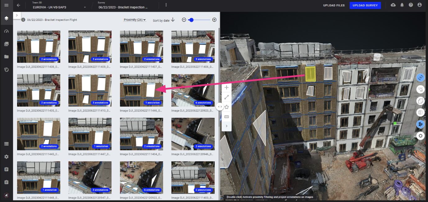
Thanks to the “proximity filter” from an annotation, it is now possible to visualize all images where a defect has been identified in 3D

To activate proximity filter from an annotation, open the “split view”, and double click on an annotation. It filters the gallery and show only images where the selected annotation is fully visible

New analytics
 
Thermal Photogrammetry

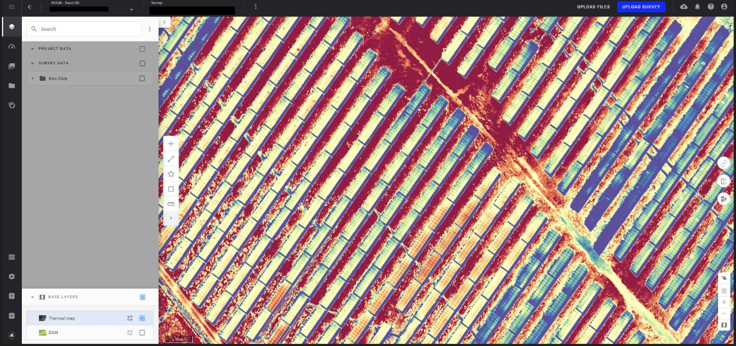
For solar plan maintenance, thermal photogrammetry is now available to detect defects on solar panels 

3 specific parameters are needed: distance, humidity and emissivity. The outputs are a thermal map and a DSM produced from thermal images taken by DJI thermal sensor

To launch a thermal photogrammetry, select the “photogrammetry” analytic on a survey with thermal images

  • working only for DJI thermal sensors compatible with DJI Thermal SDK
  • available only on Metashape photogrammetry engine 


Other Improvements
 
Photogrammetry and measure tool
  • Ground Control Points: the system now automatically detects coordinates in degrees and in this case applies the CRS in WGS 84 by default


  • Photogrammetry report: addition of the processing date on top of the report


  • Photogrammetry update for sensors M3M (RGB) / M3E / Zenmuse P1: these sensors are now supported for both Pix4D mapper and Pix4D V2 without any pre-processing (no need to delete EXIF anymore)


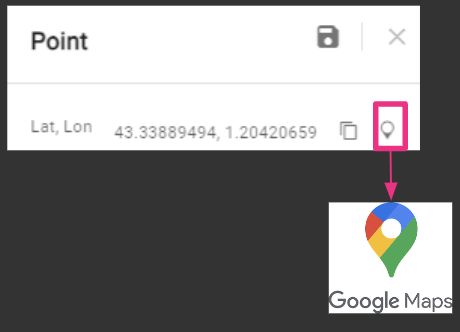
  • Measure tool and google Maps: users can access to a google maps location from a point measure
Alteia knowledge base >
For more information,
contact your sales representative Find all the release notes
app.alteia.com
Support Portal
Alteia
Unsubscribe Update your profile