Powerline digitization
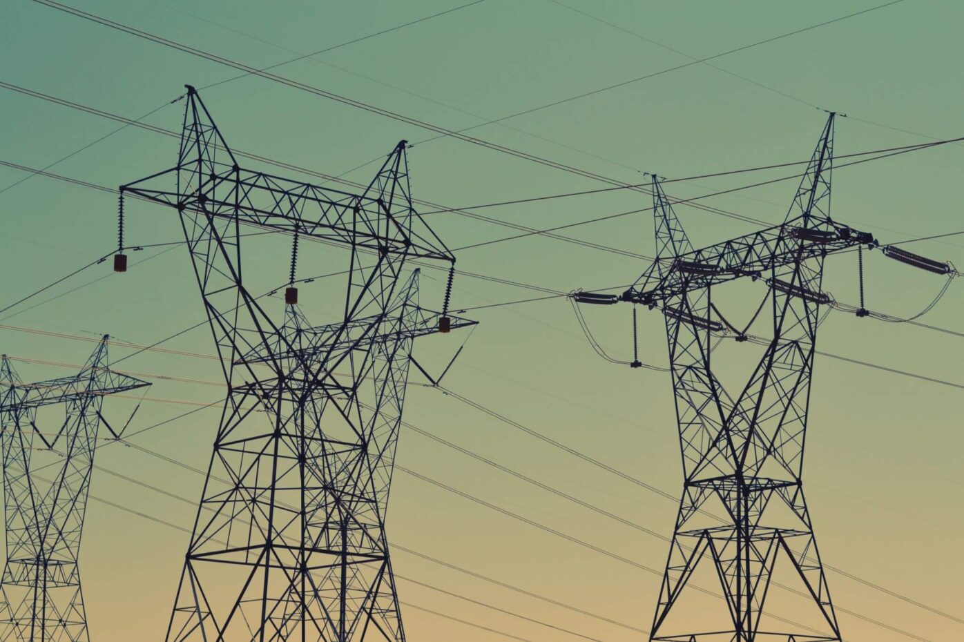
Alteia’s powerline digitization application can generate a spatially referenced 3D vector representation of the conductors in a power network by analyzing point cloud data collected along a targeted span of the network. The toolset is capable of analyzing a point cloud collected by lidar or generated by photogrammetry and outputting a 3D georeferenced vector file for export or automatic synchronization with a master GIS database providing a seamless experience.