Smart plantation and forestry
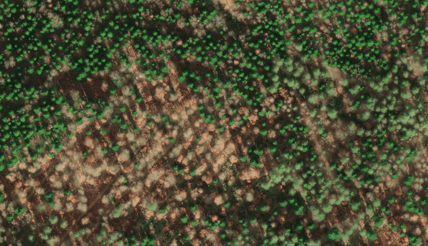
Implementing optimized plantation and forestry management requires robust software to overcome challenges associated with data collection and processing. With Alteia’s Smart plantation and forestry application, you can easily plan and manage resources and tasks related to these challenges and ensure data quality by running regular quality checks online and offline.
Additionally, you can use embedded AI algorithms to standardize and automate tree-level extractions (quantity, volume, health, etc.) from visual data. These indicators inform analysis, automatically calculating tree density so that you can optimize agronomic practices and make informed decisions on matters such as replanting.