Worksite management
Leverage Alteia’s data contextualization and AI workflows to simplify progress tracking across your sites.
Contact usStore and analyze site data
The Worksite Management application boosts efficiency and safety with AI analytics, visualizing images, orthophotos, and 3D data. Alteia offers 2D/3D site views, AI-driven stockpile detection, volume estimation, cut/fill analysis, and change detection. Instantly access data, dashboards, and reports for seamless collaboration.
Field survey and ground truthing with integrated mobile application
On a live worksite, data changes rapidly due to new surveys, updated designs, and earthwork progress. Field workers often lack access to the latest data because they can’t carry heavy laptops, leading to errors and inefficiencies. With the mobile app, they have instant access to updated maps, terrain changes, and other data, right at their fingertips.
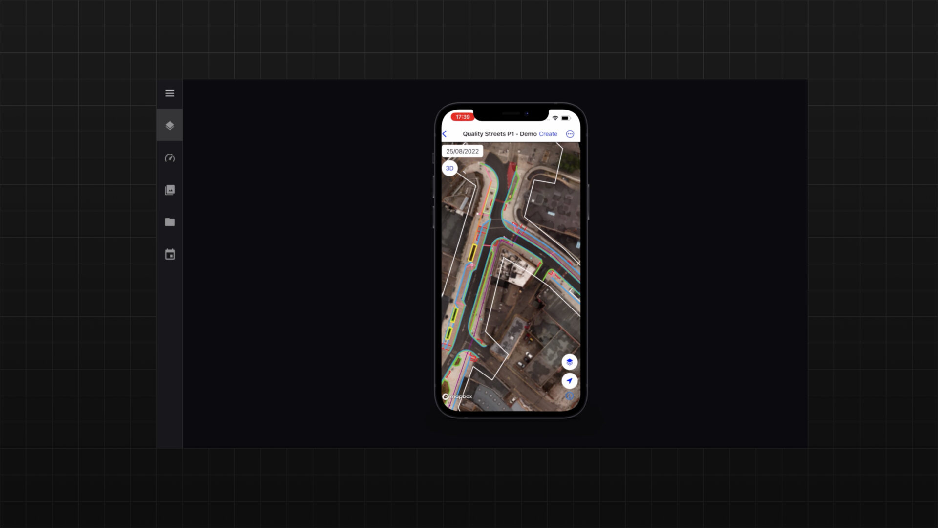
Facilitate data capture tasks from multiple data sources and providers
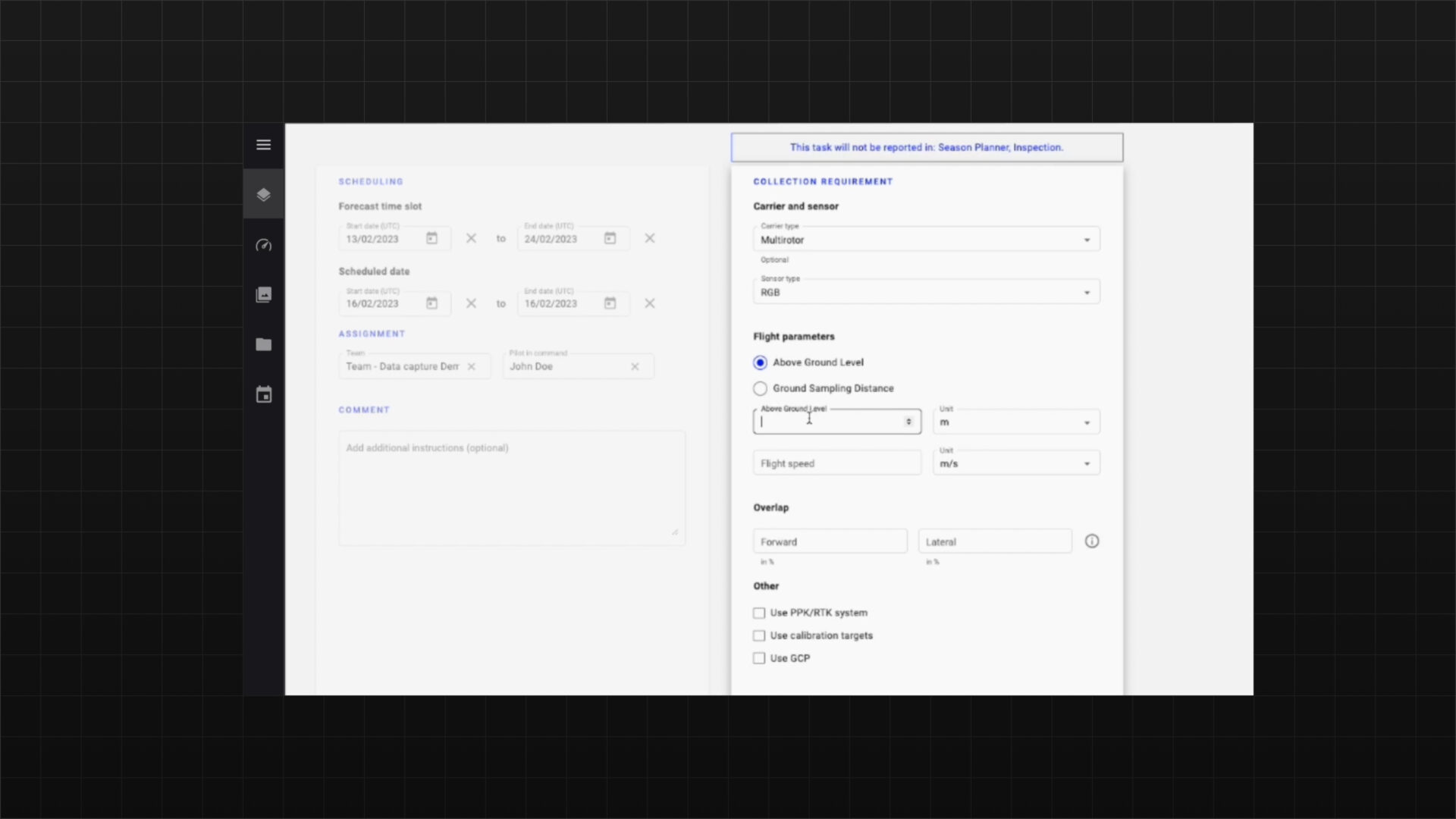
Built within the worksite management application, the data capture module allows to manage efficiently data capture operations.
Ensure that data acquisitions are performed in due time, automate data quality checks, and build reports to track the efficiency of that critical component of the business.
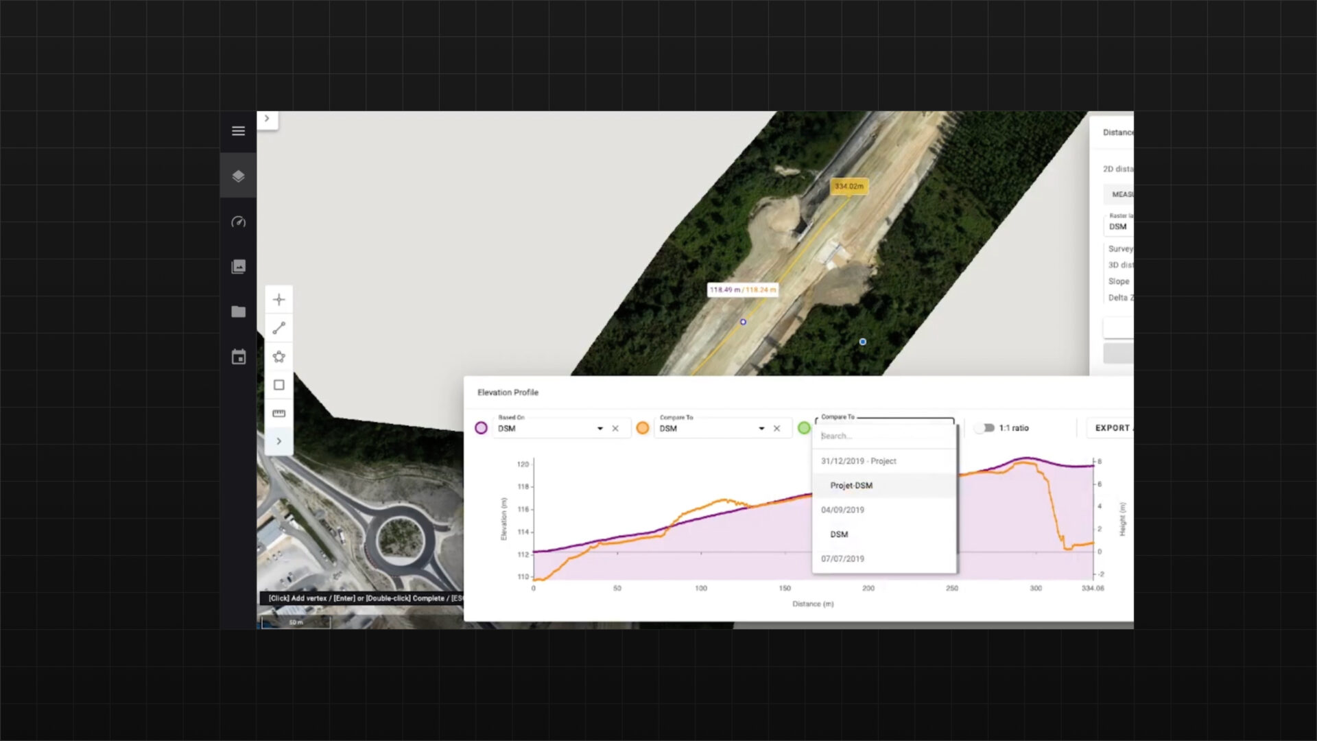
Digitally capture any measurement to ensure compliance or track progress
Quickly convert visual data from different sensors into 2D or 3D measurements and compare surveys with design plans to track progress. Digital measurement tools offer accurate site records, reducing disputes and promoting clear communication among stakeholders. This ensures better compliance and progress tracking with precise, up-to-date data, keeping projects on schedule and within regulatory standards.
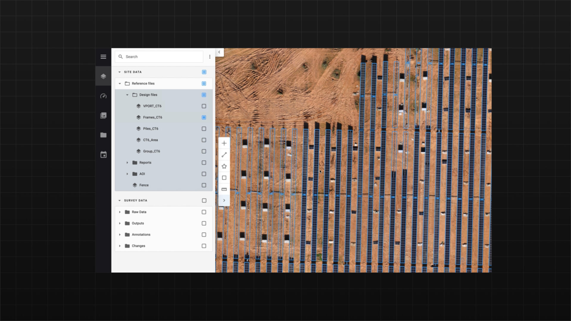
Verify compliance with the design by ingesting engineering files and compare with reality capture
Easily import, overlay, and view design plans and utility maps on all project maps. Quickly compare progress with design drawings, check grading vs. actual elevation, spot safety issues, and more.
This approach ensures accuracy by directly comparing the design with the actual build, allowing quick identification of discrepancies for timely corrections. It also enhances transparency by providing a clear record of progress, reducing disputes among stakeholders. Additionally, it helps optimize resources and control costs by identifying areas needing adjustments to avoid rework or delays.
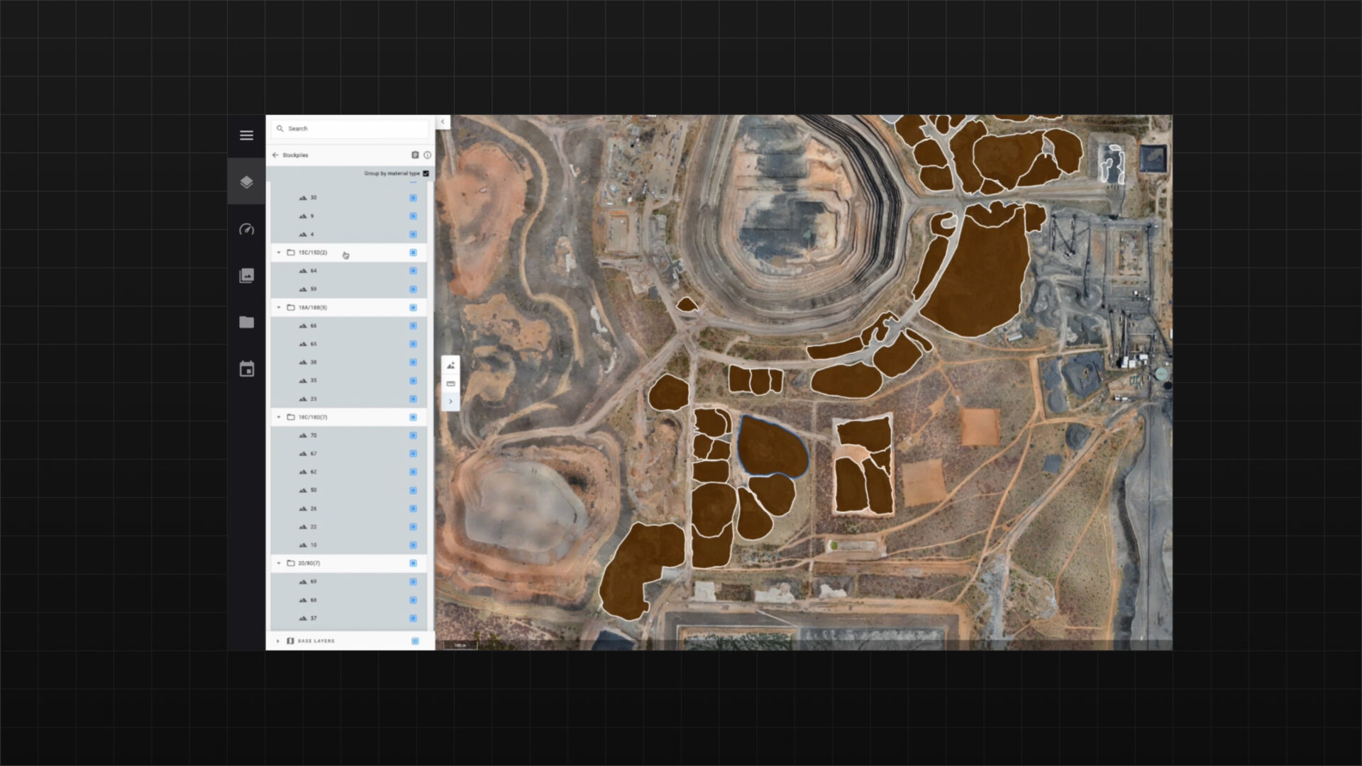
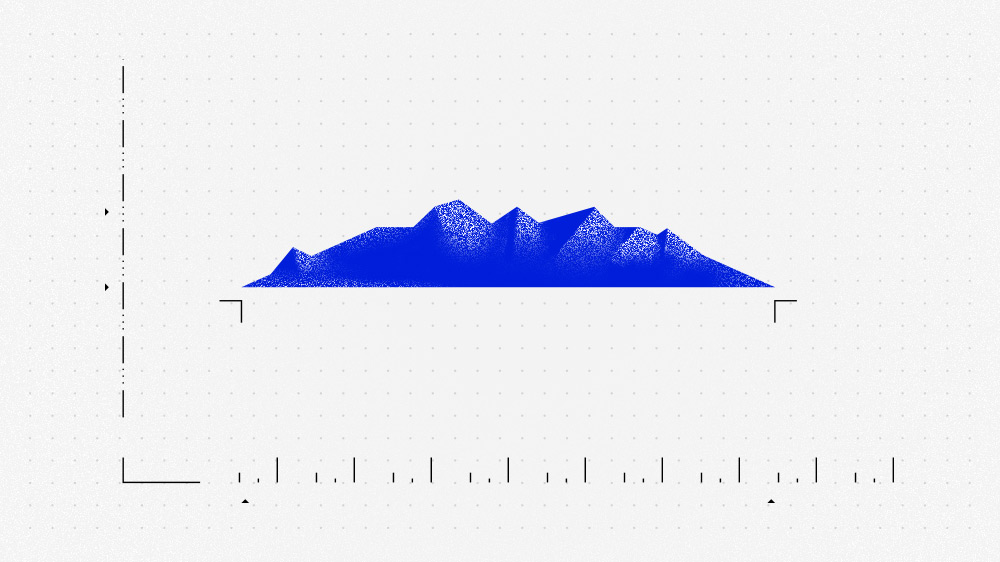
Earthwork management simplified with automated stockpile analysis and change detection
Automated stockpile analysis and change detection improve earthwork management in construction and land development.
It ensures accurate tracking of material volumes, optimizes resource use, and reduces waste. Automated change detection quickly spots differences between planned and actual progress, minimizing errors and costs. This technology also boosts safety by identifying hazards in real-time and helps maintain compliance with environmental regulations.
Benefits
Optimize operations, enhance decision-making, and automate data processing and monitoring for improved efficiency and risk management. With flexible architecture and real-time insights, we enable businesses to integrate AI seamlessly, driving productivity and cost savings.

Share data across your organization
Provide your team with immediate access to the status and progress of a worksite. Alteia Worksite centralizes site documentation, enhancing collaboration and enabling surveyors, engineers, and site managers to work more safely and efficiently.

Make better planning and fulfillment decisions
Measure stockpiles more frequently and cost-effectively than traditional methods, providing accurate reports on material quantity and value. This improves inventory management and supports better financial planning.

Maintain the highest safety standards
Effectively manage safety and maintenance while ensuring compliance with regulations through proactive strategies and regular inspections, minimizing risks and enhancing operational efficiency.

Decrease operating costs
Reduce survey costs and provide your team with the latest data to get more done faster. A complete visual progress timeline also helps prevent conflicts, minimize rework, and optimize on-site operations.
Technical features
Our application features advanced visual data analytics, real-time data processing, seamless integration with existing workflows, and scalable architecture.
Cloud-based
No need to install any software. Just log to your account and manage all your data from there, benefiting from elastic storage capabilities and high performance computing.
Annotation tools
Photogrammetry engines
Easy-to-use measurement tools
Measuring your site takes just a few clicks, and on-screen calculators and analysis tools make measuring volumes, surface areas, road grades, elevation, cross-sections, and cut/fill very easy.
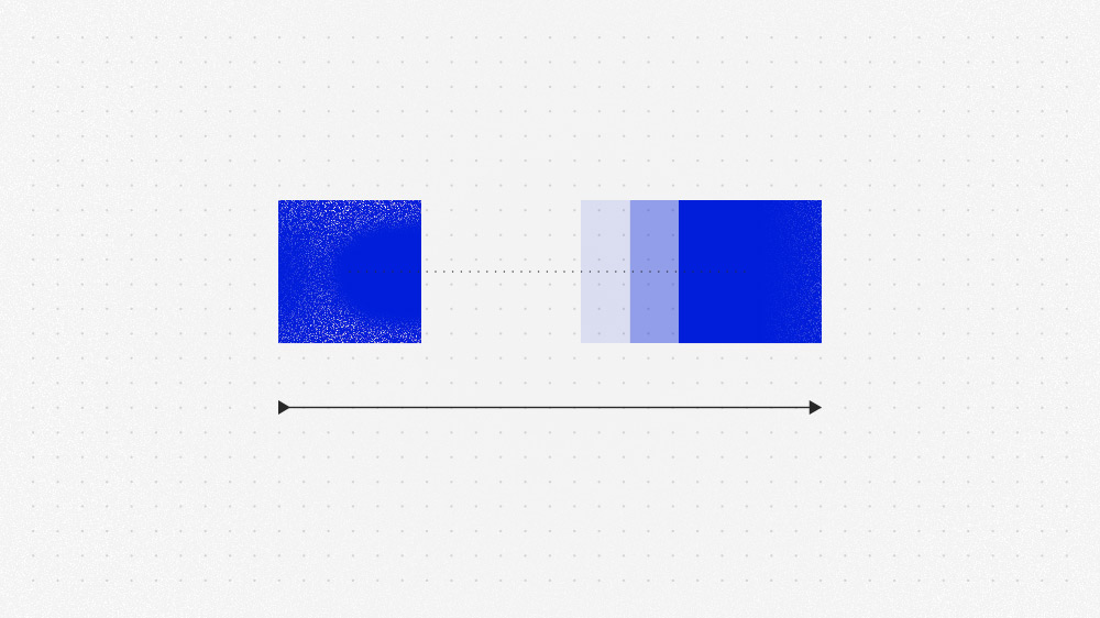
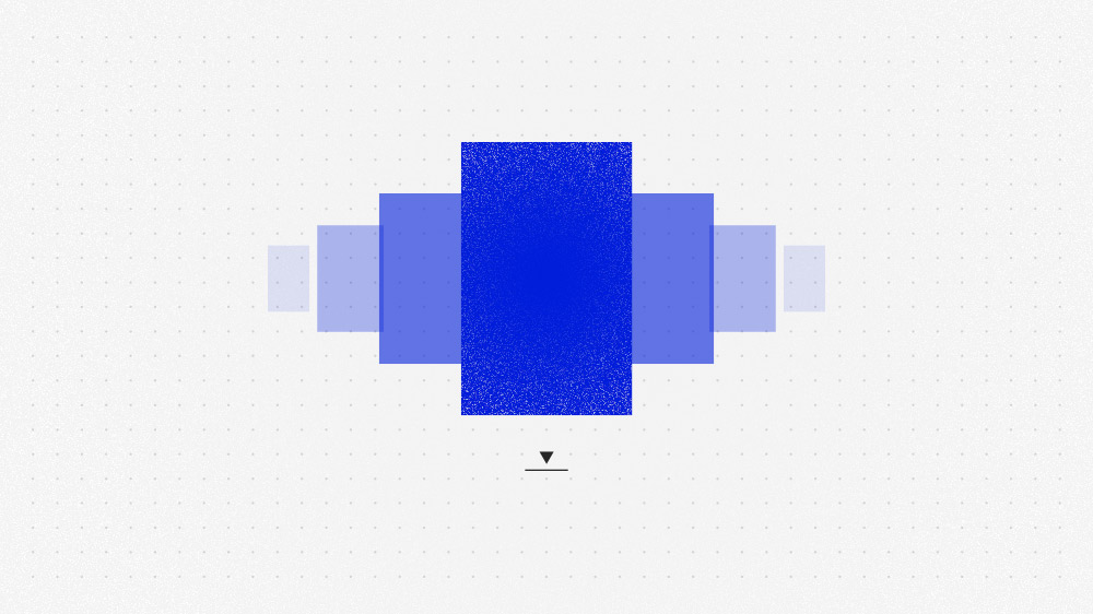
2D and 3D comparison tools
Upload design surfaces or surveys from different times to track progress toward the final grade. Intuitive tools, like our 2D or 3D Change Map, help visualize remaining work, while survey comparisons make it easy to assess productivity.
Design files import
Quickly identify differences between your site design and the current conditions.
Powerful analytics
Use our AI powered analytics for automated stockpile detection, change detection, inventory management, and BIM analysis.
Data transformation tools
Productivity assessment
High level of customization
The application can be configured to your specific needs.

No programming required
No need for a data scientist or expensive custom programming.
Quick data turnaround
Your surveys and analytics are processed, QA’d, and ready to view within hours.
Vision data inputs
Pricing
- Up to 10 seats
- APIs for output integration only
- Pay per use for photogrammetry
- Pay per use for analytics run
- Online community and training
- Level 1 analytics integration
- Custom application development
- Access to SDK and APIs
- Dedicated account management
- Premium support
Industries
This Alteia application already helps the Civil Engineering & Construction, Mining & Aggregates, Waste Management industries and the following clients.