Asset monitoring in 3D

Build digital twin of subsurface mining assets for safety and productivity applications
Mapping of drifts and stopes
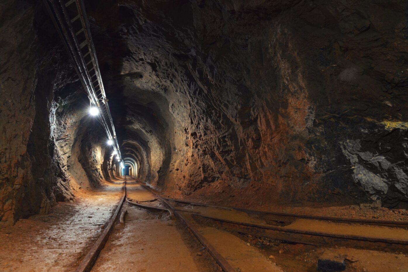
Conduct comprehensive scans of all active and decommissioned underground assets using drones capable of operating in GPS-denied environments. These drones are equipped with advanced sensors and mapping technologies, such as LiDAR, SLAM (Simultaneous Localization and Mapping), and high-resolution cameras, to capture detailed 3D data of underground tunnels, shafts, and chambers. By navigating without GPS, they provide accurate mapping and inspection of underground structures, ensuring precise documentation of asset conditions, identifying potential hazards, and enabling effective maintenance and planning for both active sites and those that have been decommissioned.
Custom Data Operations
Develop a digital twin of subsurface mining assets to enhance safety and boost productivity in mining operations. This digital twin creates a dynamic, virtual replica of underground structures, machinery, and systems, integrating real-time data from various sensors, including seismic, geotechnical, and environmental monitoring devices. By visualizing the underground environment in 3D, the digital twin enables proactive risk assessment, early detection of potential hazards like rockfalls or gas leaks, and facilitates emergency response planning. Additionally, it supports predictive maintenance of mining equipment, optimizing their performance and reducing downtime. The digital twin also aids in optimizing mine design, resource allocation, and workflow management, ensuring more efficient and safer mining operations while reducing operational costs.
Elastic data management
Automate the conversion of scan data for seamless integration into long-term planning workflows. This process involves using advanced algorithms and machine learning models to transform raw scan data—such as LiDAR, photogrammetry, or point clouds—into actionable formats like 3D models, maps, or digital twins. By automating this conversion, the data can be quickly cleaned, processed, and standardized, ensuring compatibility with existing planning tools and software. This streamlines the incorporation of up-to-date geological, structural, and environmental information into strategic planning, enhancing decision-making for mine design, resource management, and operational forecasting. The automation reduces manual work, minimizes errors, and accelerates the planning cycle, leading to more efficient and effective long-term project execution.