Land restoration management
Leverage remote sensing data and AI to assess the percentage of vegetation covering the ground
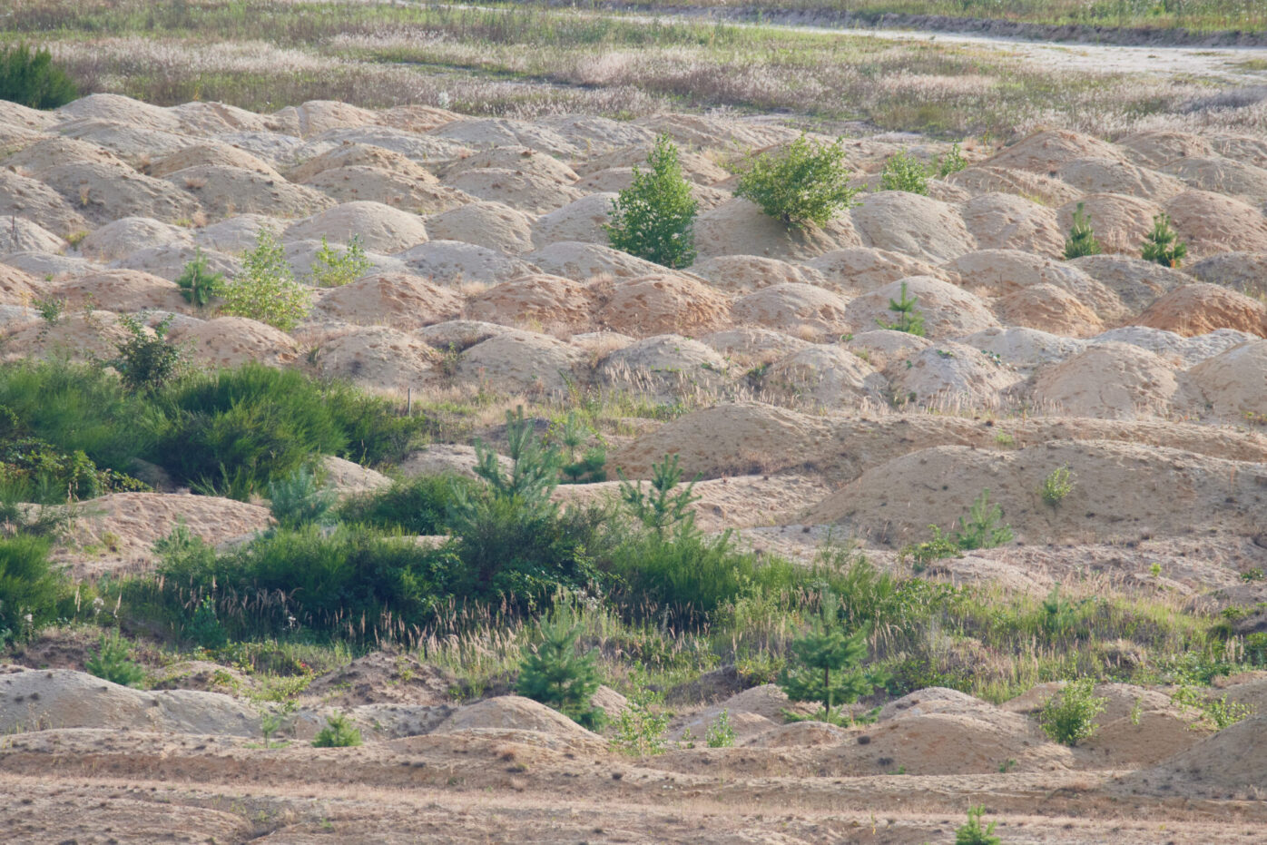
F-Cover, or Fraction of Vegetation Cover, is an algorithm on the Aether platform that calculates the percentage of ground covered by vegetation using drone or satellite images. The algorithm distinguishes between "plant area" and "ground area" to estimate F-Cover. It is widely used by industries like Power & Utilities, Oil & Gas, Agriculture, Forestry, and Mining for purposes such as land reclamation management, biodiversity assessment, and evaluating soil erosion risk. In agriculture, it helps estimate irrigation or fertilizer requirements for crop management.