Ground motion monitoring
Leverage SAR imagery and time series to prevent risks or costly delays in construction or mining
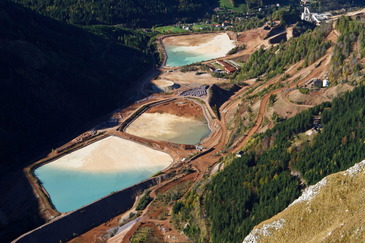
Ground motion monitoring with Synthetic Aperture Radar (SAR) imagery is an effective method to improve site safety. By using satellite or aircraft images, SAR provides detailed data on ground displacement over time, allowing real-time detection of movement or instability. This early warning system helps prevent accidents, structural damage, and delays, especially in areas prone to earthquakes or landslides.