Infrastructure resilience to climate change
Leverage topography data, weather information and artificial intelligence to assess risks on the network
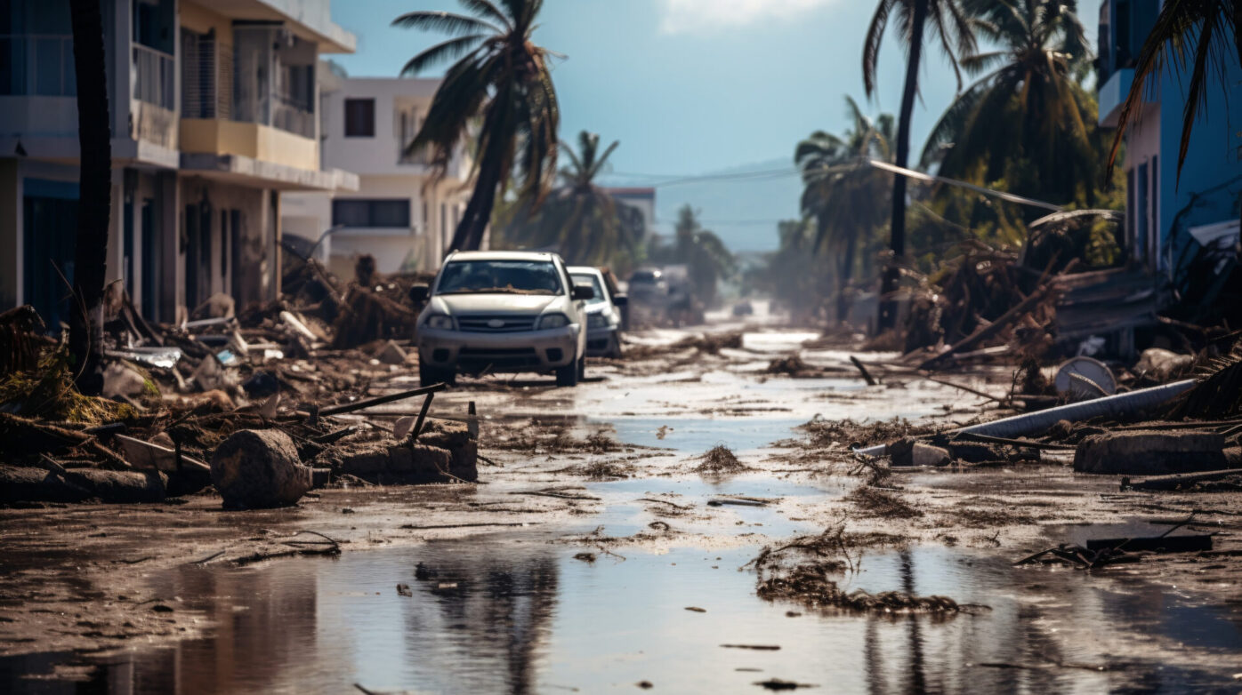
Using artificial intelligence, satellite data, and precipitation information helps assess the resilience of road networks. AI analyzes satellite images to detect infrastructure vulnerabilities, such as weather damage or erosion. By incorporating precipitation data, the system can predict areas at risk of flooding or landslides. This continuous monitoring allows authorities to plan maintenance, allocate resources effectively, and strengthen road resilience against climate challenges. This approach improves connectivity, accessibility, and supports socioeconomic development by ensuring reliable transportation systems.